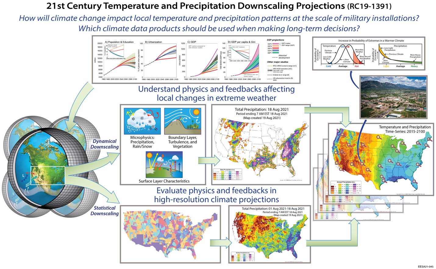
Planning for climate change at the local level requires us to know how temperature and precipitation distributions will change in the future at the local scale. We produce projections of future changes for a given emissions level by using emissions scenarios to develop climate model projections and then downscale the results to the local level through physically-realistic dynamical downscaling and statistical methods that use historical weather patterns. We produce a large number of projections at very high temporal and spatial resolution and build distributions of temperature and precipitation that facility managers, planners, and the scientific community can readily use.
LOCA2-CMIP6: A statistically-downscaled set of daily temperature and precipitation projections for the United States, Southern Canada, and Northern Mexico for the 21st Century, built from all of the latest climate model simulations from CMIP6 at 6 km resolution and delivered to the Fifth National Climate Assessment.
WRF-CMIP6: A dynamically-downscaled set of hourly atmospheric projections over the Western United States for the 21st Century, providing the most physically-realistic projections of climate, built from a subset of climate model simulations from CMIP6 for the research community at 9 km resolution (3 km over California).